

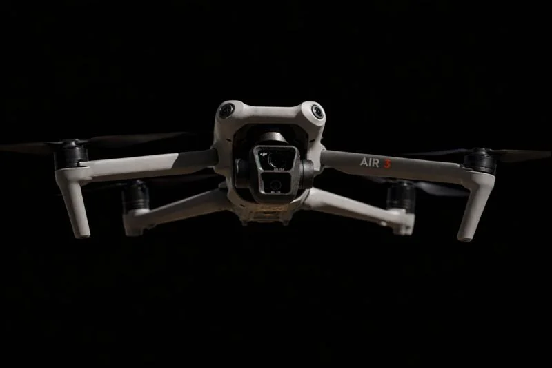
Latitude 32 Aerial Imaging & Drone Services, LLC
FAA Part 107 Certified - Insured - Supporting San Diego and Surrounding Areas
Our Services
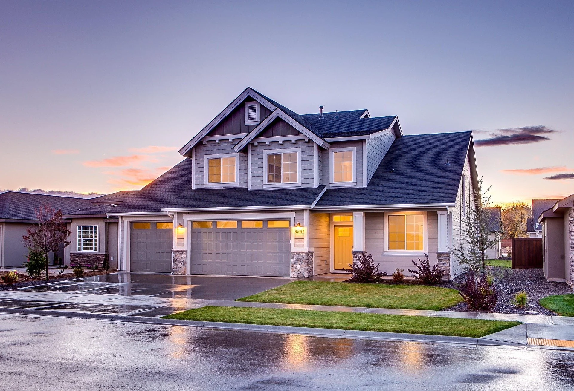
Real Estate Videography
& Photography
Transform your property listings with Latitude 32's premium videography and photography. Capture every angle, inside and out, to make a lasting impression.
High-quality drone footage with stunning aerial views
Expert interior videography and photography
Tailored services for real estate professionals to showcase properties
Enhance your real estate listings with captivating visuals that draw buyers in and help properties stand out in a competitive market.
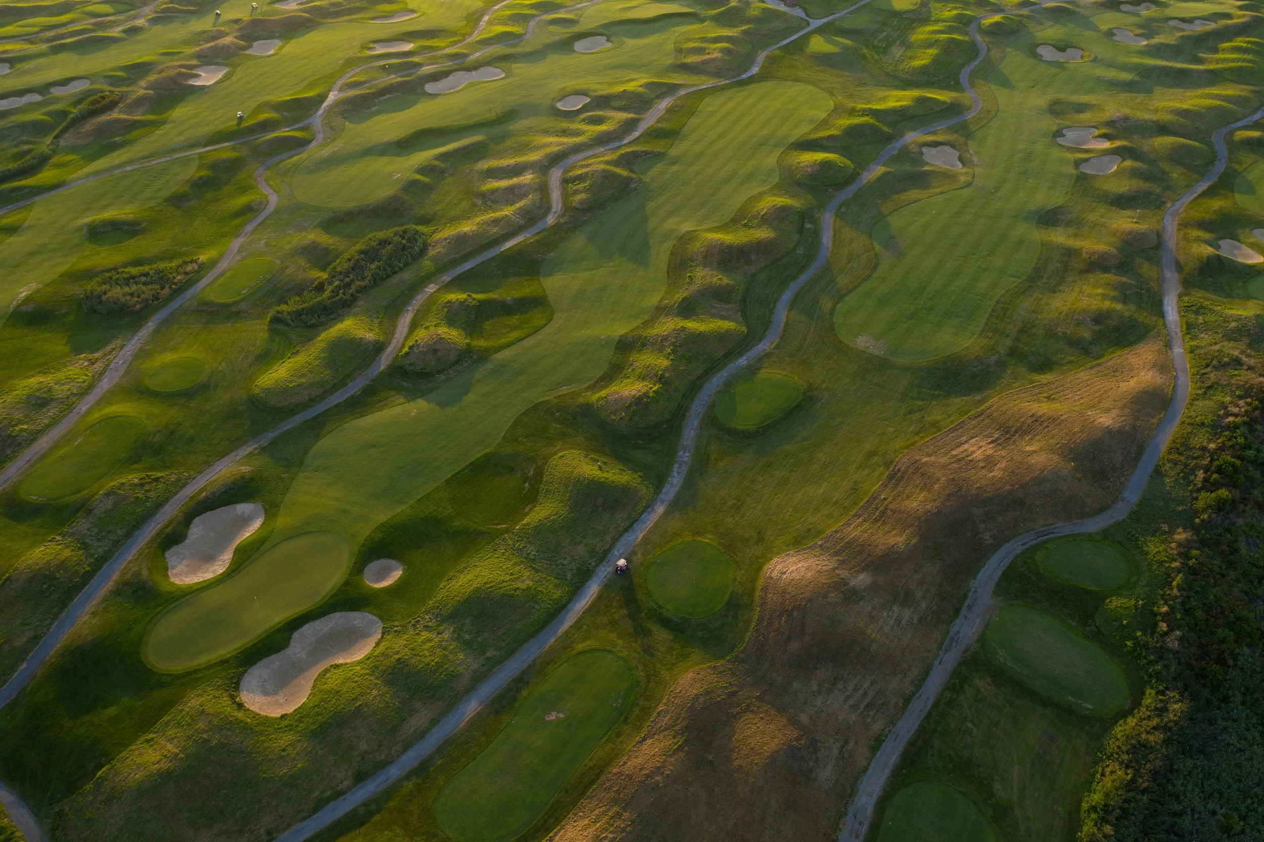
Golf Course Aerial Videography
& Turf Monitoring
Transform your golf course management with stunning aerial videography that not only highlights the beauty but also aids in precise turf monitoring and landscaping optimization.
High-resolution aerial videography that captures each hole and landscape with precision.
Helps course managers monitor turf conditions and optimize landscaping efforts.
Enhances course marketing materials by showcasing stunning visuals.
Elevate your golf course's prestige and management efficiency with our cutting-edge aerial videography service. Let your greens shine with brilliance and attract more players by showcasing their beauty like never before.
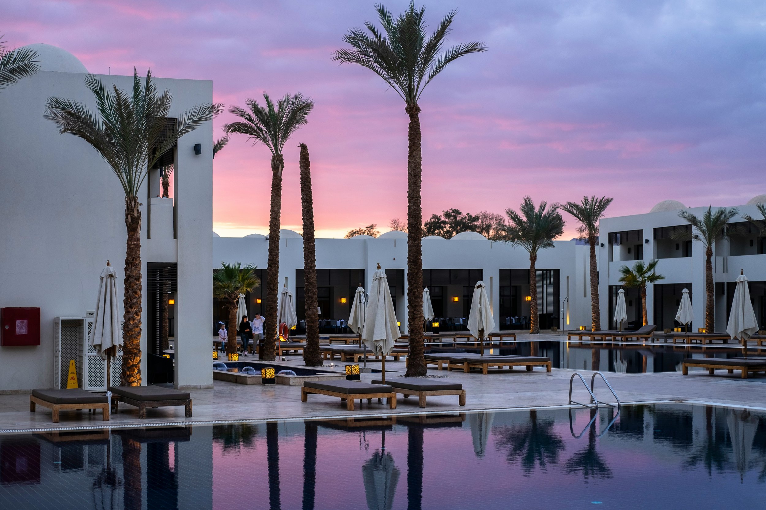
Hotel Videography & Photography
Elevate your hotel’s visual presence with professional aerial and on-property videography and photography. Showcase amenities, location, and guest experience to drive bookings and stand out in a competitive market.
High-quality aerial footage highlighting property layout, pools, outdoor spaces, and surroundings
Professional exterior and amenity-focused photography and videography
Visual assets optimized for websites, booking platforms, and marketing campaign
Compelling visuals help potential guests understand the full experience before they arrive, increasing engagement, direct bookings, and event inquiries.
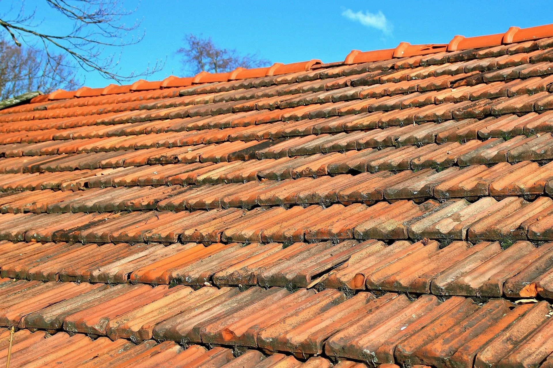
Aerial Roof Inspection
& Documentation
Improve inspection efficiency and documentation accuracy with professional drone-based roof imaging. Our aerial services provide clear, detailed visuals without the need for ladders, lifts, or unnecessary risk.
High-resolution aerial imagery for roof inspections and assessments
Visual documentation to support estimates, reports, and insurance claims
Faster inspections with reduced labor time and improved safety
Aerial roof imagery helps roofing professionals work more efficiently, present clearer findings to clients, and move projects forward with confidence.
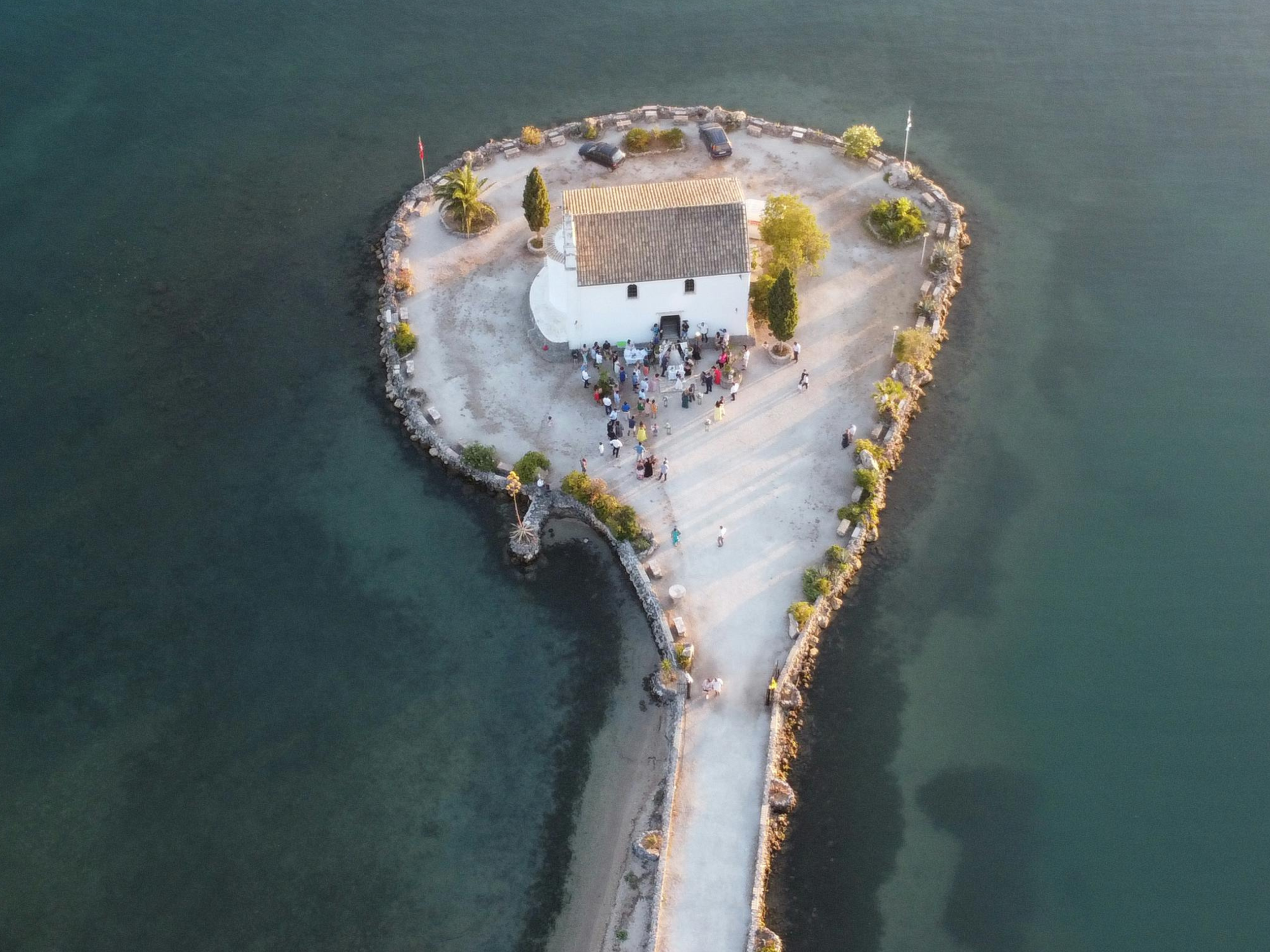
Wedding Aerial Videography
Add a unique perspective to your wedding day with cinematic aerial videography that captures the venue, setting, and moments from above. Our drone footage complements traditional photography and videography to create a more complete visual story.
Cinematic aerial footage of venues and outdoor settings
Seamless integration with ground-based photography and video
Professionally edited clips that enhance highlight reels and films
Enhance your real estate listings with captivating visuals that draw buyers in and help properties stand out in a competitive market.
Specialty & Custom Aerial Services
Support unique projects with customized aerial videography, photography, and data capture tailored to specific needs. From commercial properties to one-off projects, we adapt our approach to deliver professional, reliable results
Custom aerial videography and photography for specialized projects
Flexible capture plans based on site, scope, and objectives
Professional deliverables designed for marketing, documentation, or planning
If your project doesn’t fit a standard category, Latitude 32 provides tailored aerial solutions built around your goals.
Contact Us
If you have a project in mind or would like to learn more about our services, we’d be glad to connect. Every inquiry is reviewed personally, and we’ll follow up shortly to discuss your needs and next steps email - Click Here - or call (760) 542-3766
About Latitude 32 Aerial Imaging & Drone Services, LLC
Latitude 32 Aerial Imaging & Drone Services, LLC provides professional aerial videography, photography, and drone-based services across Southern California, with an emphasis on San Diego and the surrounding region. Built to support real estate professionals, golf courses, hotels, roofing companies, and specialty projects, Latitude 32 delivers reliable, high-quality visuals that serve both marketing and operational needs.
Operating under FAA Part 107 certification and fully insured for commercial work, Latitude 32 approaches every project with a focus on safety, precision, and clear deliverables. Each flight is planned with airspace awareness, site conditions, and client objectives in mind—ensuring consistent results and dependable execution.
From showcasing properties and amenities to documenting conditions and supporting inspections, Latitude 32 combines modern drone technology with a practical, business-first mindset. The goal is simple: provide aerial visuals that help clients present their assets professionally, make informed decisions, and stand out in competitive markets.
Whether supporting ongoing commercial needs or one-off specialty projects, Latitude 32 offers flexible aerial solutions designed to meet real-world requirements—on time, on scope, and with attention to detail.
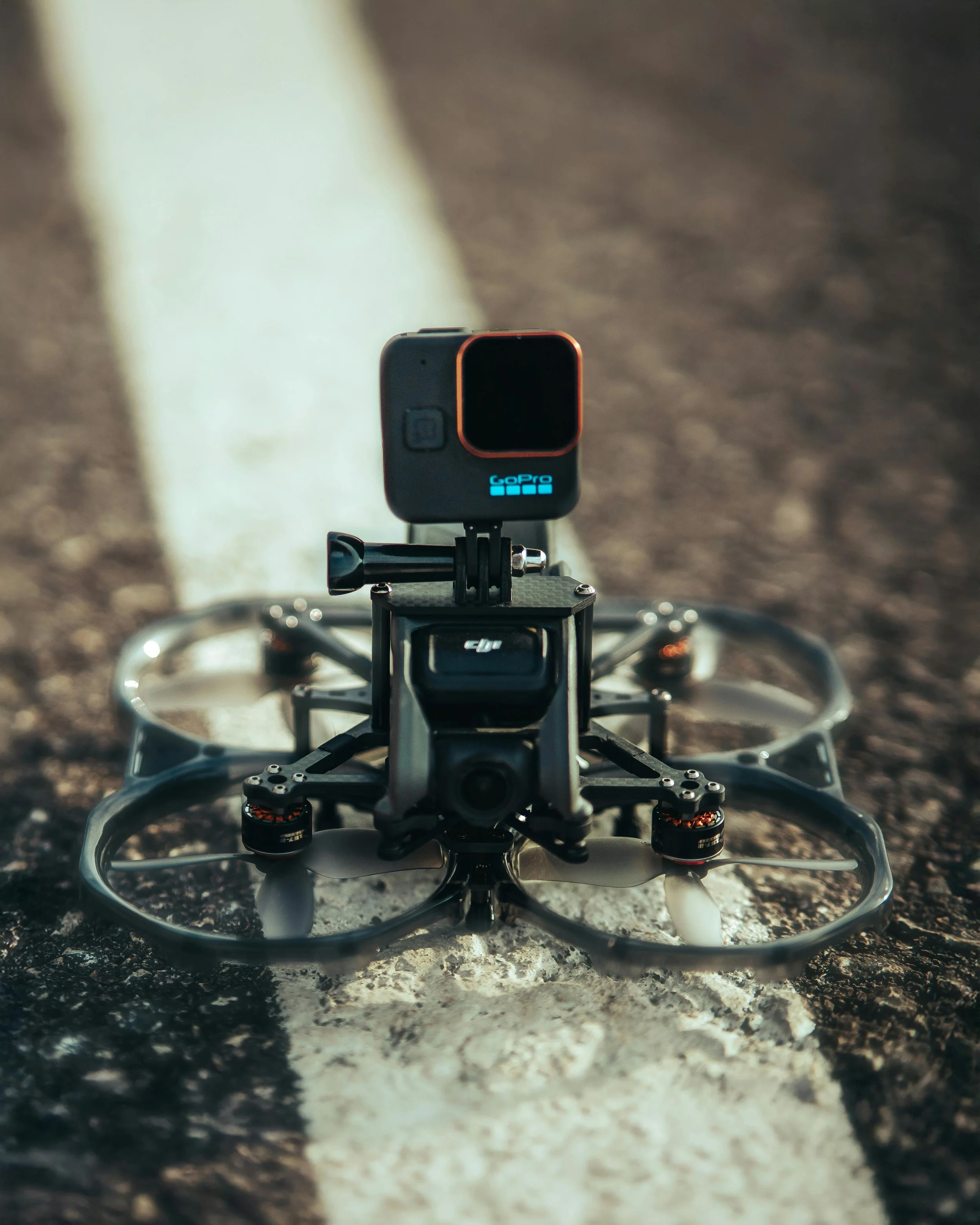
Latitude 32 Aerial Imaging & Drone Services, LLC is owned and operated by Chris Avellino, an instrument-rated pilot and FAA Part 107–certified drone operator whose background in aviation and operations directly informs how every project is planned and executed. Each flight is approached with the same discipline found in traditional aviation, prioritizing airspace compliance, safety, weather awareness, and defined objectives before takeoff.
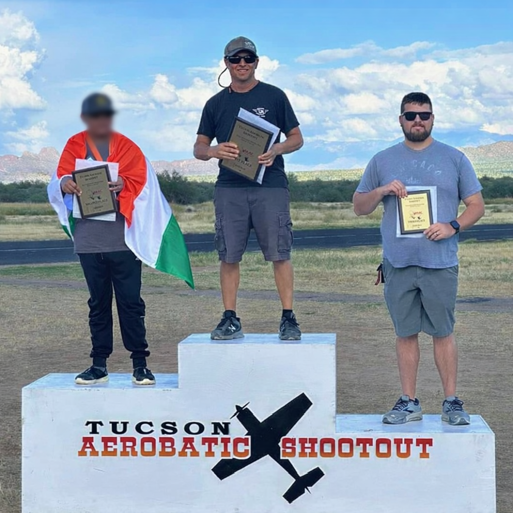
With more than 3,000 hours of remote-control flight experience and top-tier competitive results, Chris brings a high standard of precision and consistency to every mission. His competitive flying background reflects not only technical skill, but an ability to perform under pressure, execute accurately, and deliver repeatable results.
Beyond aviation, Latitude 32 is built on a foundation of providing the best client experience through clear communication, dependable execution, and an understanding that strong visuals are only valuable when paired with trust and reliability. Every engagement is treated as a partnership, with a focus on supporting client goals, protecting their interests, and delivering work that stands up over time. The goal is to deliver professional results that create lasting value, support long-term relationships, and help clients succeed in competitive environments.